
Severe storms and heavy rain sweep across Europe as unstable weather set to hit Switzerland
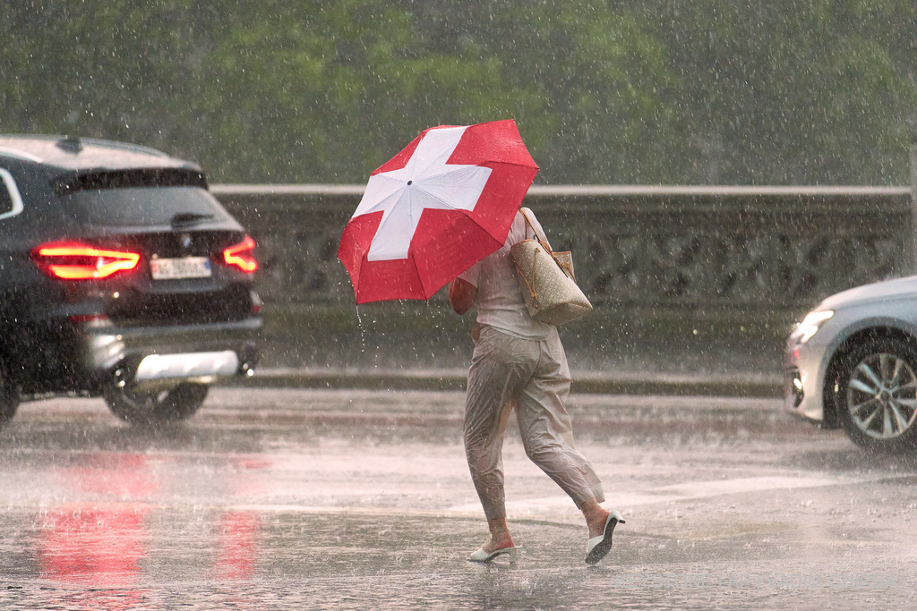
Severe weather is expected to sweep across parts of Europe from Monday, with strong winds, storms and heavy rainfall forecast. A cold front will bring a sharp shift in atmospheric conditions, while localised flooding risks exist in some regions.
According to meteorological forecasts, the heaviest rainfall is expected across the Balkans, as well as in western parts of Spain and Portugal. By Wednesday, rainfall in some areas could exceed 200 litres per square metre.
Rainfall exceeding 100 litres per square metre is also expected in parts of Italy and along the French Alps. In Germany, particularly in areas near the Alps and around Freiburg, heavy rainfall is also forecast.
Meteorologists warn that heavy rainfall over a short period, especially in areas where the ground is already saturated, could cause rapid rises in water levels in small rivers and streams.
Switzerland also braces for unstable weather
Atmospheric conditions will worsen in Switzerland as well. According to the MeteoSwiss meteorological service, Monday will feature patchy to dense cloud cover and occasional rainfall, while only light precipitation is expected in central Graubünden.
The snowfall line is expected to be between 1,400 and 1,700 metres above sea level. Temperatures in the lowlands are forecast to range from 7 to 12 degrees Celsius.
In mountainous areas, strong westerly winds are expected, which may occasionally intensify into storms. On the northern slopes of the Alps and in the Bernese Oberland, above around 1,900 metres, between 5 and 15 centimetres of fresh snow is expected, with some areas potentially seeing up to 20 centimetres.
On Tuesday, the weather will be mostly overcast with frequent rainfall. The snow line will temporarily rise to around 2,500 metres before dropping to approximately 2,000 metres by evening.
Westerly winds will be strong, reaching storm intensity in mountainous regions. In alpine valleys, temporary strong Föhn winds are expected. Temperatures in the lowlands could reach up to 14 degrees Celsius.
Above 2,800 metres, between 10 and 20 centimetres of fresh snow is also forecast.
On Wednesday and Thursday, the weather will remain unstable, with overcast skies, occasional rainfall and brief sunny intervals. The heaviest rainfall on Wednesday is expected on the northern slopes of the Alps.
The snow line will drop again to between 1,400 and 1,700 metres on Wednesday, while on Thursday it is expected to be around 1,500 metres. Westerly winds will continue to be strong, reaching storm intensity in mountainous areas.
Maximum temperatures are expected to reach around 12 degrees Celsius on Wednesday and 11 degrees on Thursday.
What is causing Europe’s storms?
According to meteorological experts, the primary cause of these atmospheric conditions is a minor disturbance in the upper layers of the atmosphere, known as a shortwave trough.
This phenomenon triggers changes in atmospheric pressure, pushing air masses from high-pressure zones towards low-pressure areas. The greater the pressure difference, the stronger the winds can become.
The development of this atmospheric system is also influenced by a powerful air current at high altitude, known as the jet stream, which strengthens in autumn due to significant temperature differences between polar and subtropical air masses.
As the cold front passes, cold air pushes warm air upwards, creating conditions for heavy rainfall, hail and storms.
The post Severe storms and heavy rain sweep across Europe as unstable weather set to hit Switzerland appeared first on Albinfo.
Source of the news: albinfo.ch
Note: This material has been processed for informational purposes by the Kosovo.Today portal.